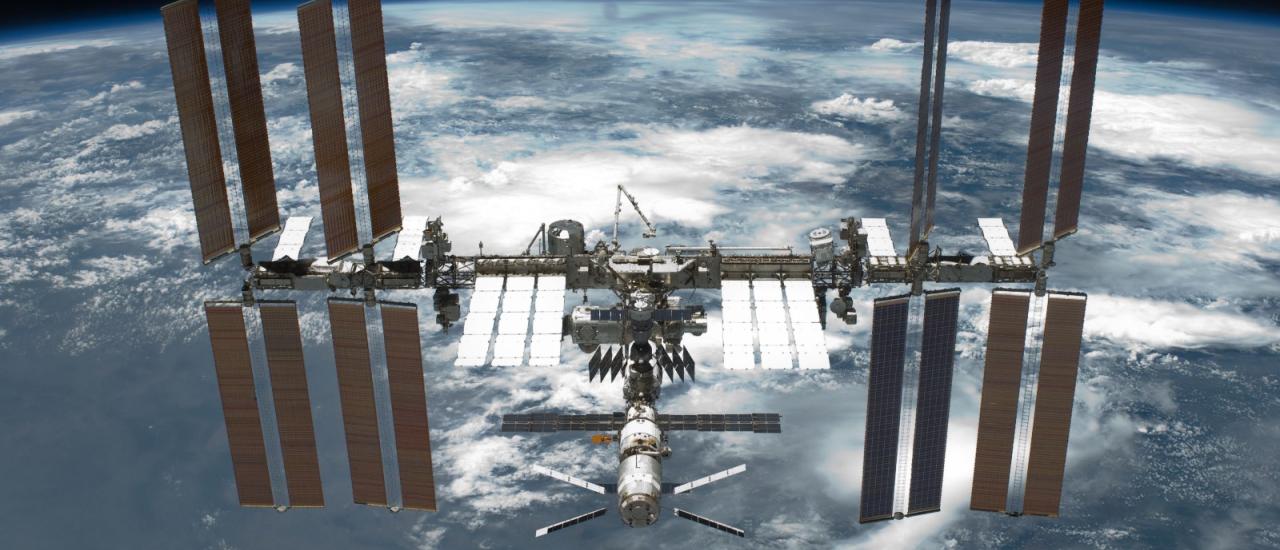
Since 2005, an ambitious collaboration between NASA and USAID has been quietly but steadily building the capacity of scientific organizations, government officials, emergency responders, and communities across the developing world to better handle environmental challenges and more effectively pursue resilient development. Known as SERVIR — which means “to serve” in several languages — it seeks to deliver near-real-time environmental data from Earth-orbiting satellites to data-scarce communities and scientists, and translate that data into tools, products, and services that can inform local decision-making on everything from land use and food production to water management and disaster risk reduction.
SERVIR’s overarching goal of transferring knowledge from U.S. scientists and development experts to their counterparts abroad equips partners with the skills and information needed to handle environmental challenges as they arise, while empowering local scientists and policymakers — and the communities they serve — to become more self-reliant. Now entering its 13th year, SERVIR showcases the productive potential of interagency collaboration within the U.S. Government.


