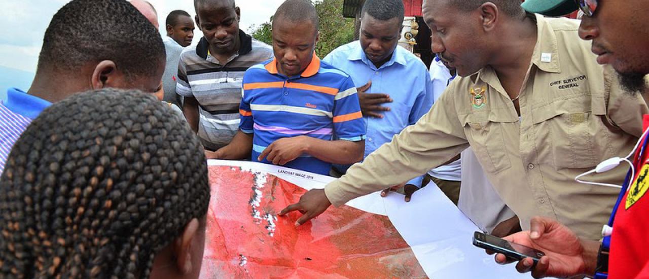
Since 2005, USAID and NASA’s joint SERVIR project has been helping communities across the world better prepare for natural disasters. Working in close collaboration with local scientists and development partners via a series of regional hubs in Africa and Asia, SERVIR combines NASA’s state-of-the-art scientific innovations and satellite technology with USAID’s extensive development know-how and global reach to streamline rural communities’ benefits of satellite data. When applied correctly, Earth observation data can strengthen national and international systems by enhancing the monitoring, forecasting, and overall awareness of hazards and impacts. This allows for better targeting of operations by disaster managers preparing for and responding to natural disasters; mitigating against the worst impacts of future floods; building resilience in the face of the next extended drought; and informing more sustainable land-use decisions.
Now entering its 14th year, the unlikely partnership animating SERVIR has been a driving force behind its achievements. To date, SERVIR has helped streamline access to scientific data in 45 countries, collaborated with 260 institutions around the world, trained more than 3,500 people on how to use SERVIR tools and services, and facilitated exchanges between more than 400 scientists and decision-makers.
In addition, some 1.5 million maps have been created interactively via SERVIR’s website.
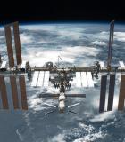
“The success of SERVIR is a result of bringing together perhaps two of the most different agencies in the federal government—NASA and USAID,” says SERVIR co-founder Dan Irwin. “NASA works in space and uses the unique vantage point of space to monitor our planet, and USAID works on the ground in over 100 countries around the world. By sharing our complementary expertise—and partnering with leading technical organizations—we’re connecting space to village, by creating demand-driven, actionable services using satellite data to help countries address critical issues such as floods and droughts.”


