
WASH Atlas: Local Data Mapping Tool
Summary

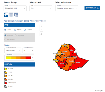
USAID’s Demographic and Health Surveys (DHS) Program’s Local Data Mapping Tool (link is external) allows users to explore and compare Admin 1 estimates, modeled Admin 2 estimates, and modeled estimates at a resolution of 5×5 km of key water, sanitation, and hygiene (WASH) indicators. Currently, there are WASH maps available under the Local Data Mapping Tool for nine Global Water Strategy High Priority Countries: Ethiopia, Haiti, Liberia, Madagascar, Mali, Nigeria, Rwanda, Uganda, and Zambia.