From Satellite to Village, Turning Data into Action

The Story
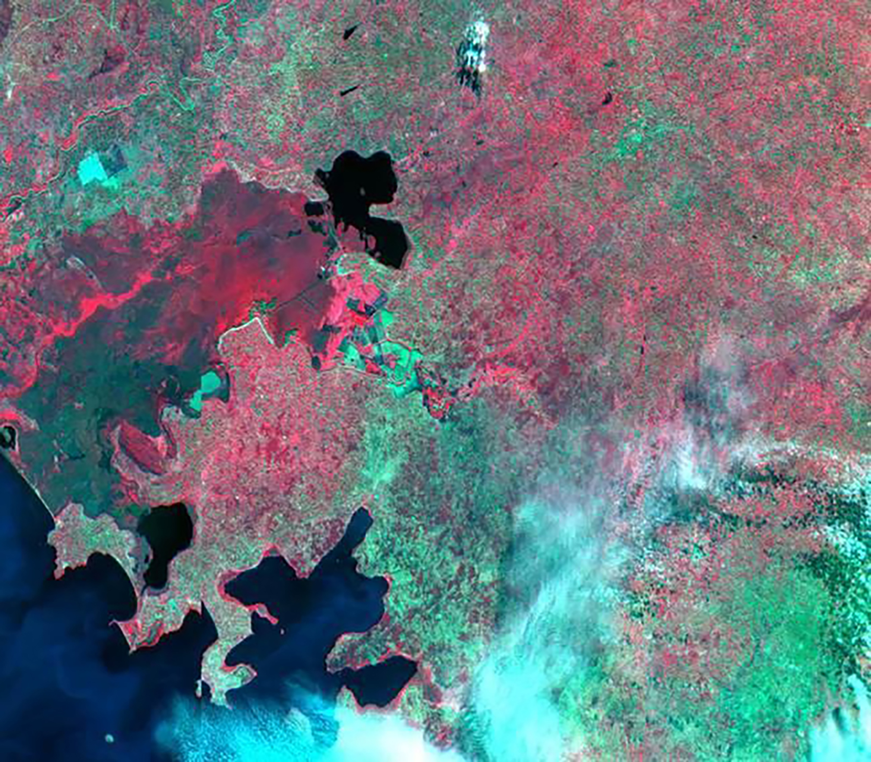
One night in July 2018, a rupture of the Xe Namnoy Xe Pian Dam in Laos sent more than 130 billion gallons of water cascading into downstream communities located along the Xe Pian and Xe Khong rivers in Laos’ Attapeu province, displacing thousands. The Mekong team of SERVIR, a partnership between USAID and NASA designed to build national capacity to apply science to policy, responded immediately, teaming up with NASA's Disasters Program, the Japan Aerospace Exploration Agency, and the European Space Agency to obtain satellite imagery that penetrated the thick cloud cover above the flood-stricken region and provided emergency response teams on the ground with near-real-time information about the movement of floodwaters in the days following the dam break. These efforts not only responded to local authorities’ requests for updated situational awareness, but they also helped gauge the socio-economic impacts of the flood, as SERVIR-Mekong's institutional partners combined satellite data with infrastructure maps, land-use maps, and topographic information to measure the depth of floodwaters in particular areas and fine-tune estimates for flood-related economic damages.
Based on this and other ongoing efforts, SERVIR-Mekong is connecting subject matter experts from NASA and Deltares (Netherlands) to further strengthen regional capacity in innovative and practical applications of synthetic aperture radar (SAR) satellite data for water monitoring and disaster management. This is just one example of the many benefits SERVIR (which means "to serve" in several languages”) offers scientists and development experts in 45 countries and counting, as the project equips partners with the skills and information needed to handle environmental challenges as they arise, while empowering local scientists and policymakers—and the communities they serve—to become more self-reliant.
Through five regional hubs, SERVIR engages a primary institutional partner that helps connect NASA and USAID officials with their local counterparts. These institutional partners, such as the Asian Disaster Preparedness Center in the Mekong basin, not only offer connections to national governments and development agencies, but also facilitate knowledge transfer and accelerate capacity building by helping connect local scientists, development officials, policymakers, and emergency response officials.
NASA's satellite imagery and climate and weather data not only keeps Americans informed, but in countries worldwide it can strengthen national and international systems by enhancing monitoring, forecasting, and overall awareness of hazards and impacts. This information, in turn, helps USAID and its partners reduce risks related water-related disasters, support local and national governments to set land- or water-use policy that reflects annual weather patterns and water flows, and assist farmers in making the most of their resources.
Find More
Strategic Objective(S)
 Water Resources Management


Highlight