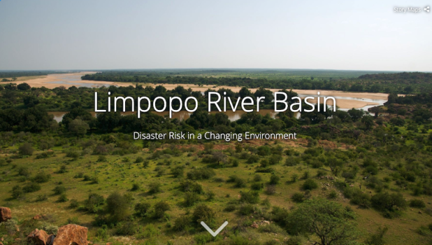
Story Map: Limpopo River Basin – Disaster Risk in a Changing Environment
Summary
The Resilience in the Limpopo Basin Program (RESILIM) project was implemented from June 2012 to December 2017. The five-year contract was funded and administered by USAID/Southern Africa, to improve transboundary management of the Limpopo River Basin and enhance the resilience of its people and ecosystems.
This ArcGIS Story Map was created by GRID Arendal.